A Novel about Landscape and Childhood, Sanity and Abuse, Truth and Redemption

Paul Brazier ~ Longman’s Charity

Home The Story Locations The Author Contact

Locations

Where . . .

The events presented in Longman’s Charity take place in the Vale of Evesham, the town of Evesham and its outlying villages and hamlets, the North Cotswold hills, Bredon Hill, and the plains east-south-east of the city of Worcester.

Readers have expressed an interest in the actual locations. Most of what was the charities – the land set up and rented out to small scale independent market gardeners – has been developed, built on. However, some areas survive; in particular the red barn and the copse (though this now exists as a much reduced sliver of woodland between two farm fields.

The oldest of the charities still survives: John Martin’s Charity (going back nearly 300 years) and Christ Church Charity (that is, Christ Church College, Oxford), though most of the remaining land is now farmed for cereal crops. The days of market gardening in the Vale of Evesham have been waning since the 1970s.

Loading...

Google Map – General Locations

Detailed Maps of Hampton Charity

Bredon Hill

Galleries – Photographs

Google Map – General Locations

Detailed Maps of Hampton Charity

01_hampton_charity_ 1864(1).jpg

02_hampton_charity_ 1864(2).jpg

03_hampton_charity_1952.jpg

04_hampton_charity_1966-b.jpg

Hampton Charity, 1864

[ Click on thumbnail for larger map ]

Hampton Charity, 1864
(Re-drawn and coloured by
Paul Brazier for clarity)

[ Click on thumbnail for larger map ]

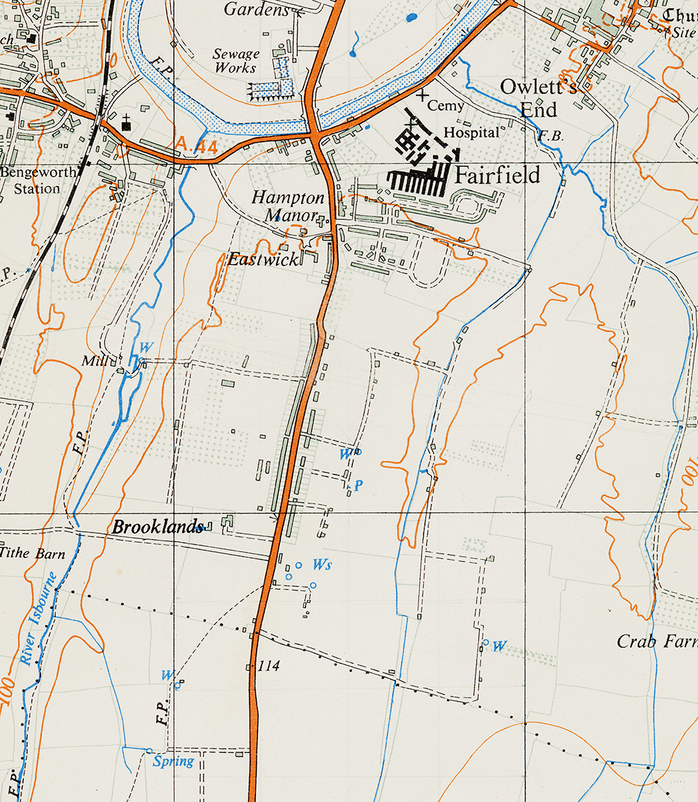
Hampton Charity, 1952

[ Click on thumbnail for larger map ]

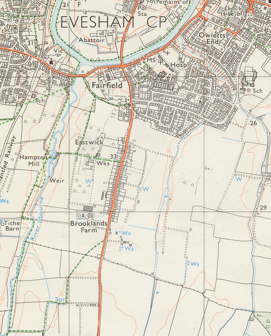
Hampton Charity, 1966

[ Click on thumbnail for larger map ]

05_hampton_charity_1972.jpg

06_hampton_charity_1998.jpg

07_hampton_charity_2014.jpg

hampton_charity_1950s_hqp-b.pdf

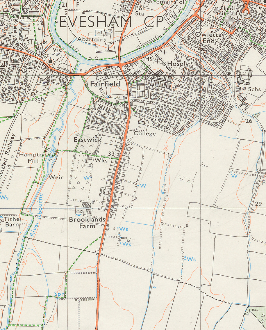
Hampton Charity, 1972

[ Click on thumbnail for larger map ]

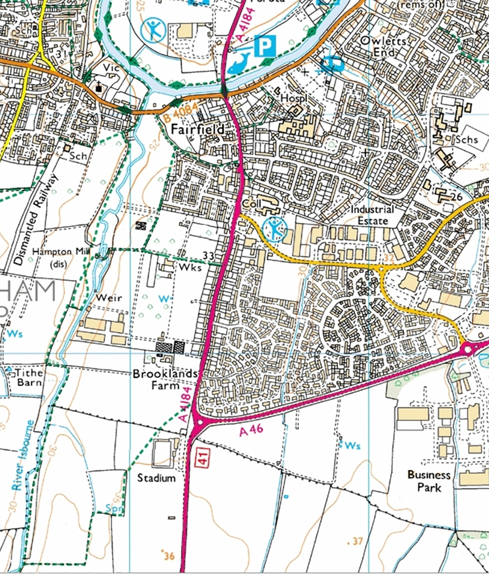
Hampton Charity, 1998

[ Click on thumbnail for larger map ]

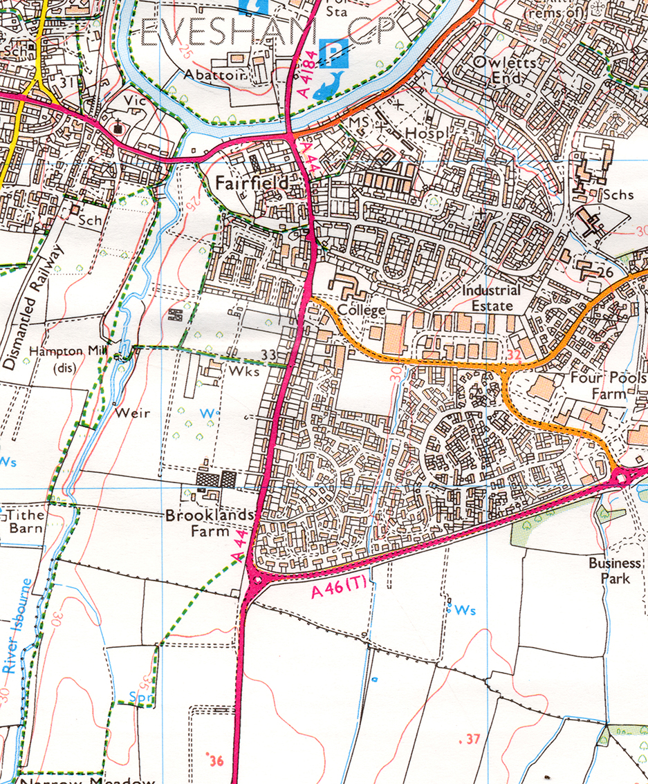
Hampton Charity, 2014

[ Click on thumbnail for larger map ]

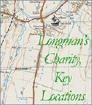
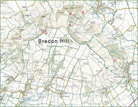
Detailed map (1952) of the area named “Longman’s Charity” by Paul Brazier with key places from the book labelled.
[
PDF file, 2.39mb ]

Evesham Railway 1950s-b.jpg


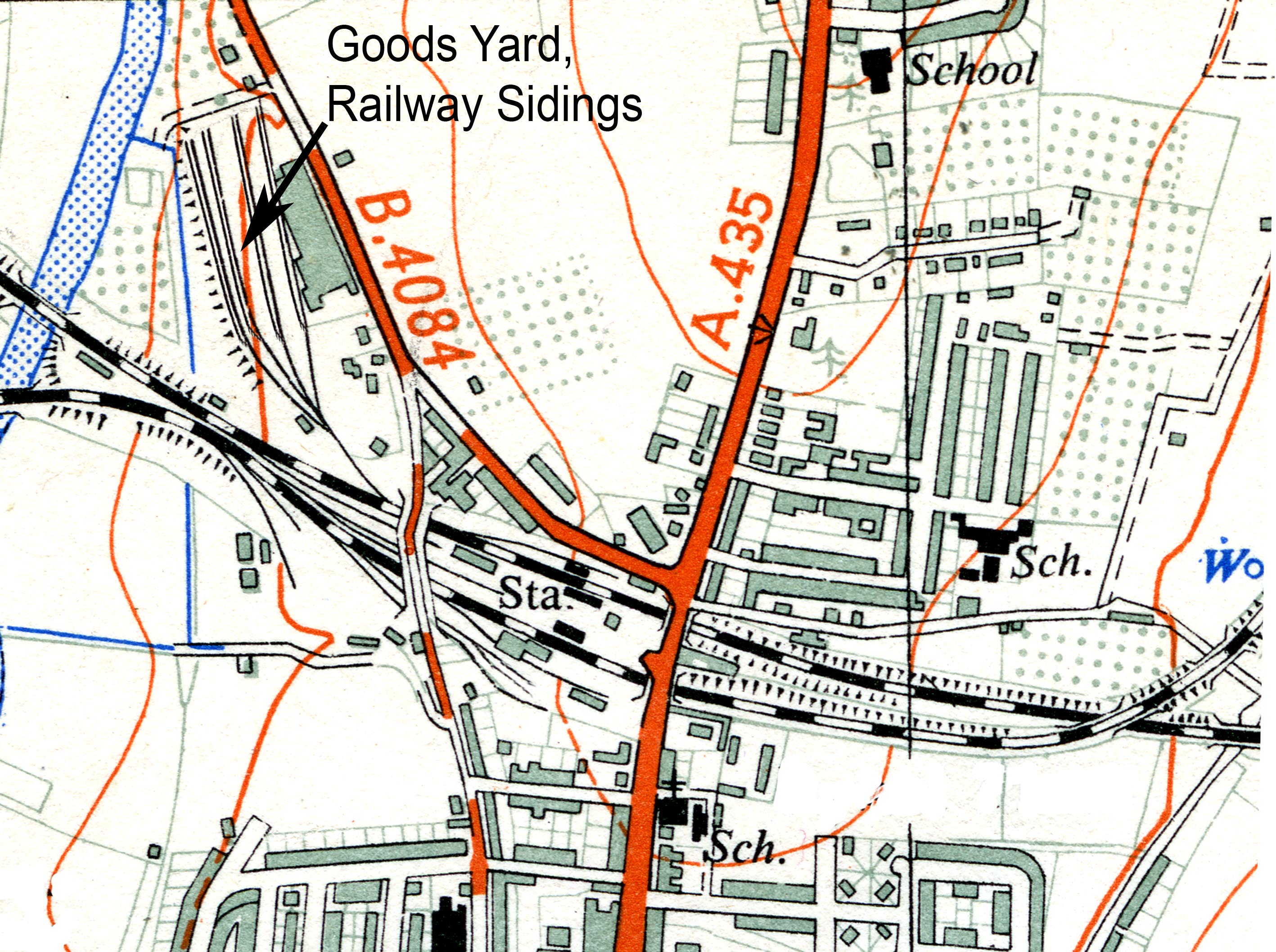
Evesham Goods Yard, the railway Sidings used for loading fruit and veg, 1950s

[ Click on thumbnail for larger map ]


RETURN TO TOP OF PAGE

Bredon Hill figures as an important element in the story.

Click on the map thumbnail opposite for a detailed map.
(
PDF file, 0.7mb; 2311 x 1791 pixels)

A :: Paul Broadley’s first visit to Bredon Hill.

B :: Even Hill & the Forestry Commission woods

C :: Holcomb Nap

D :: Highest Point

E :: Hill Lane

F : Bredon Hill National Nature Reserve

Parts of it are now a national nature reserve.

Wildlife Extra ~ Bredon Hill National Nature Reserve

Natural England ~ Bredon Hill National Nature Reserve

bredon_hill_01.pdf

Bredon Hill

RETURN TO TOP OF PAGE

Bredon Hill from the boundary of Christ Church Charity looking west-south-west, over farmland, with the Red Barn behind and the copse over to the left out of the frame (February 1992).

Home Page

The Story

Locations

The Author

Contact

The Psalms

Galleries

Links

© Paul Brazier ~ Ash Design, 2014

Contents